Accessible Venice
Accademia and the Zattere waterfront
Art and open water, with a short route and a conditional extension.
Distance: not surveyed. No verified maximum gradient or minimum passage width is available for these routes.
Google Maps
Opens Google Maps; no map is loaded until you open a link.
Route stops
Open route in Google Maps ↗Google may suggest a different route or omit intermediate stops. Its walking directions do not certify wheelchair access. Follow the route notes and confirm barriers before travelling.
Route and stops
Start at Accademia, on the Dorsoduro side. Follow Rio Terà Antonio Foscarini to the Zattere waterfront and return the same way. This is a shorter editorial selection from the municipal itinerary; do not cross the Accademia bridge.
Barriers and alternative
The longer municipal route depends on temporary bridge ramps. Their current installation is unconfirmed. Stop before an unsuitable bridge; do not treat the full waterfront as continuously step-free.
Toilets and indoor breaks
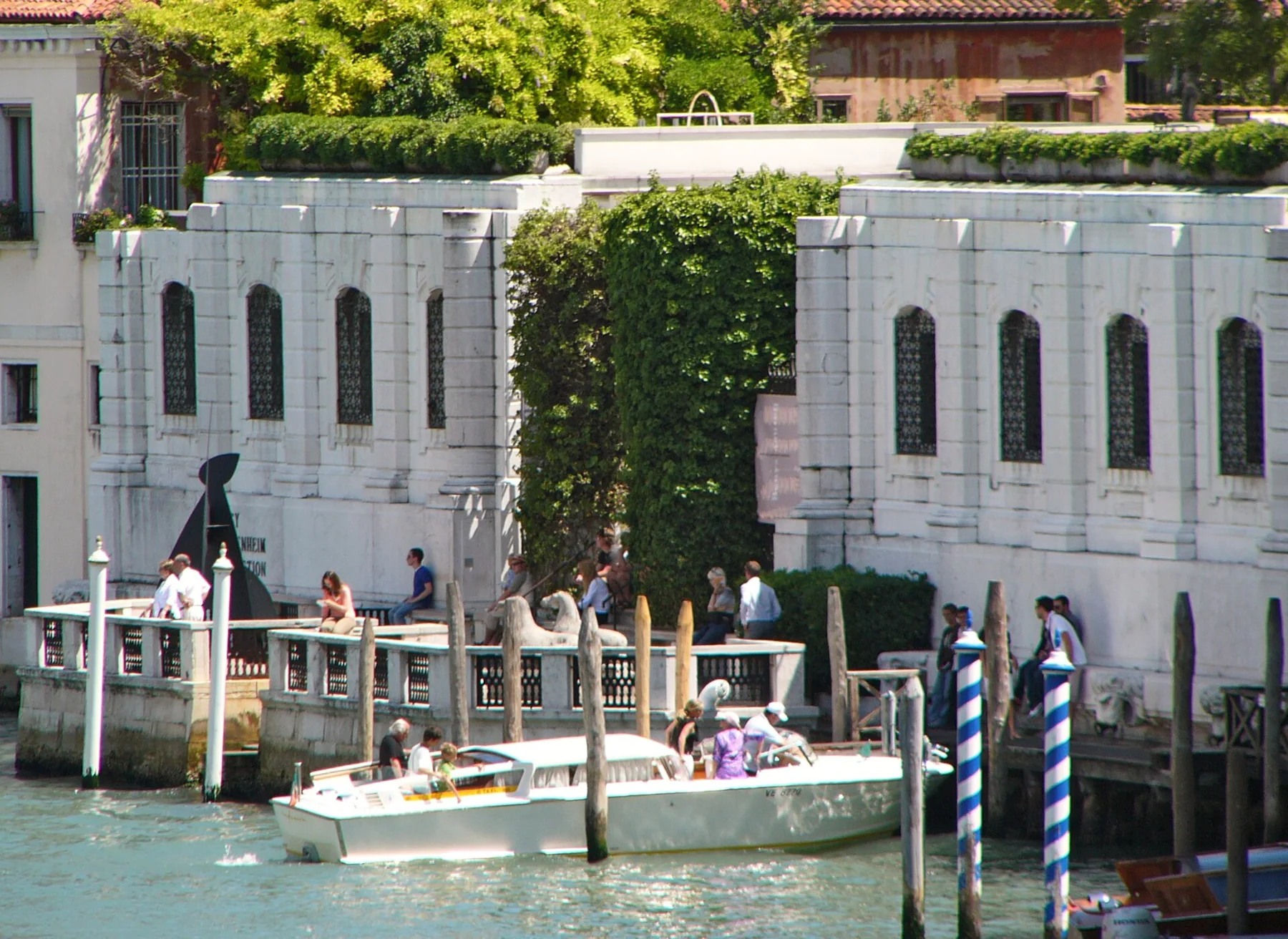
Choose an indoor visit separately and confirm its entrance, lift and accessible toilet directly. The Peggy Guggenheim Collection publishes an accessibility page. A nearby café is not automatically an accessible toilet option.
Before you leave
Ask about ramp installation and slopes on the precise stretch you want. Surface smoothness, measured distance and step-free café access remain unverified. If a ramp is unavailable, keep the shorter out-and-back route.
Official sources
- Comune di Venezia — Zattere (2019)
- Peggy Guggenheim Collection — Accessibilità
- AVM — Mobilità accessibile
Photo credits: G.Lanting · CC BY 3.0
← All accessible itineraries